Maple syrup in Ontario, division by division
- Maple farms, 2021
- 2,469
- −18% since 2016
- Taps, 2021
- 2 million
- +18% since 2016
- Sap usually starts
- Mar 12
- to Apr 12 · weather estimate
- Divisions with a page
- 43
- of 48 with maple farms
Reading the map
Where Ontario's sugaring happens
Waterloo alone holds 269,246 taps (13% of the province). Divisions shaded lightest have the fewest taps; cream divisions have their tap count withheld by Statistics Canada; grey divisions reported fewer than five farms with taps and have no atlas page. Click any division for its season calendar.
No official season record exists for Ontario, so the division dates below are a weather estimate: the median of each division's own weather signals over 35 seasons. Weighted by farms, the province's signal runs from about Mar 12 to Apr 12.
Every census division
Ontario maple production and season dates by division
| Division | Type | Farms | Taps | Taps vs 2016 | Sap usually runs |
|---|---|---|---|---|---|
| Waterloo | regional municipality | 242 | 269,246 | +5% | Mar 12 – Apr 12 |
| Grey | county | 198 | 210,348 | +51% | Mar 14 – Apr 15 |
| Lanark | county | 89 | 208,832 | +41% | Mar 15 – Apr 16 |
| Wellington | county | 184 | 167,714 | +154% | Mar 13 – Apr 12 |
| Algoma | district | 53 | 133,083 | −11% | Mar 27 – Apr 27 |
| Huron | county | 95 | 121,397 | +11% | Mar 7 – Apr 4 |
| Bruce | county | 83 | 73,331 | +16% | Mar 16 – Apr 15 |
| Parry Sound | district | 37 | 70,022 | −26% | Mar 20 – Apr 17 |
| Durham | regional municipality | 60 | 60,236 | Mar 6 – Apr 6 | |
| Stormont, Dundas and Glengarry | united counties | 87 | 57,897E | +35% | Mar 12 – Apr 12 |
| Simcoe | county | 111 | 57,191E | +20% | Mar 15 – Apr 16 |
| Hastings | county | 65 | 48,321E | −5% | Mar 10 – Apr 11 |
| Prescott and Russell | united counties | 55 | 45,243E | +7% | Mar 17 – Apr 16 |
| Oxford | county | 69 | 41,505E | +144% | Mar 9 – Apr 9 |
| Middlesex | county | 53 | 39,170E | −36% | Mar 5 – Apr 4 |
| Perth | county | 76 | 38,554E | +25% | Mar 11 – Apr 12 |
| Leeds and Grenville | united counties | 77 | 38,179E | −24% | Mar 11 – Apr 11 |
| Kawartha Lakes | census division | 66 | 35,042E | +20% | Mar 14 – Apr 16 |
| Renfrew | county | 81 | 33,426E | +18% | Mar 19 – Apr 20 |
| Peterborough | county | 67 | 27,968E | +9% | Mar 13 – Apr 14 |
| Frontenac | county | 45 | 22,101E | +8% | Mar 10 – Apr 11 |
| Haldimand-Norfolk | census division | 50 | 17,582 | +35% | Mar 1 – Apr 3 |
| Elgin | county | 33 | 16,486E | +56% | Mar 1 – Apr 2 |
| Haliburton | county | 14 | 14,967 | −15% | Mar 21 – Apr 22 |
| Chatham-Kent | census division | 18 | 13,477E | +102% | Mar 2 – Mar 27 |
| Lambton | county | 39 | 13,199E | −10% | Feb 28 – Mar 31 |
| Nipissing | district | 14 | 13,108E | −13% | Mar 23 – Apr 24 |
| Halton | regional municipality | 27 | 6,496E | +7% | Feb 28 – Mar 28 |
| York | regional municipality | 21 | 6,247E | +95% | Mar 6 – Apr 6 |
| Kenora | 0 | 0 | fewer than 5 farms · no page | ||
| Ottawa | census division | 67 | withheld by Statistics Canada | Mar 15 – Apr 16 | |
| Northumberland | county | 46 | withheld by Statistics Canada | Mar 9 – Apr 5 | |
| Lennox and Addington | county | 42 | withheld by Statistics Canada | Mar 10 – Apr 12 | |
| Dufferin | county | 30 | withheld by Statistics Canada | Mar 16 – Apr 17 | |
| Prince Edward | census division | 24 | withheld by Statistics Canada | Mar 10 – Apr 9 | |
| Manitoulin | district | 23 | withheld by Statistics Canada | Mar 24 – Apr 24 | |
| Muskoka | district municipality | 20 | withheld by Statistics Canada | Mar 21 – Apr 23 | |
| Brant | census division | 19 | withheld by Statistics Canada | Mar 4 – Apr 4 | |
| Hamilton | census division | 18 | withheld by Statistics Canada | Mar 1 – Mar 30 | |
| Essex | county | 15 | withheld by Statistics Canada | Feb 22 – Mar 24 | |
| Peel | regional municipality | 15 | withheld by Statistics Canada | Mar 4 – Apr 4 | |
| Niagara | regional municipality | 14 | withheld by Statistics Canada | Feb 27 – Mar 29 | |
| Sudbury | district | 9 | withheld by Statistics Canada | Mar 26 – Apr 25 | |
| Timiskaming | district | 6E | withheld by Statistics Canada | Mar 30 – May 1 | |
| Greater Sudbury | 4 | withheld by Statistics Canada | fewer than 5 farms · no page | ||
| Rainy River | 3 | withheld by Statistics Canada | fewer than 5 farms · no page | ||
| Cochrane | 2E | withheld by Statistics Canada | fewer than 5 farms · no page | ||
| Toronto | 2 | withheld by Statistics Canada | fewer than 5 farms · no page | ||
| Thunder Bay | 1E | withheld by Statistics Canada | fewer than 5 farms · no page | ||
| Ontario total | 2,469 | 2,013,549 | +18% | Weather estimate Mar 12 – Apr 12 |
- E Statistics Canada quality grade: use with caution.
- "Withheld by Statistics Canada": Statistics Canada suppressed the value as too unreliable to publish (F). The farm count is still published.
- Division figures need not sum to the province total because of the withheld values. Statistics Canada cautions that 2021 and 2016 are not strictly comparable: the census-farm definition changed in 2021, and farms were assigned to their main location more strictly.
- Statistics Canada doesn't publish syrup volume by census division, so this table has no gallons or litres.
About this page
Production figures are copied, unchanged, from Statistics Canada Tables 32-10-0362-01 (2021) and 32-10-0423-01 (2016). Season dates come from the atlas: 35 seasons of daily Daymet temperatures at each division's reference town, scored with the freeze-thaw rule behind our live forecast. How the atlas is built →
Sources · 5
- 1.Maple taps, Census of Agriculture, 2021 (Table 32-10-0362-01) · Statistics Canada
- 2.Maple taps, Census of Agriculture, 2011 and 2016 (Table 32-10-0423-01) · Statistics Canada
- 3.Daymet: Daily Surface Weather Data on a 1-km Grid for North America, Version 4 R1 · ORNL DAAC
- 4.2021 Census cartographic boundary files (census divisions, population centres) · Statistics Canada
- 5.GeoNames geographical database (CA) · GeoNames
Licences and attribution
- Adapted from Statistics Canada, Census of Agriculture 2021 and 2016 (Tables 32-10-0362-01 and 32-10-0423-01), 2021 Census population and dwelling counts (Tables 98-10-0002-01 and 98-10-0011-01) and 2021 Census cartographic boundary files. This does not constitute an endorsement by Statistics Canada of this product.
- Contains information licensed under the Open Government Licence – Canada.
- Thornton, M.M., R. Shrestha, Y. Wei, P.E. Thornton, S-C. Kao, and B.E. Wilson. 2022. Daymet: Daily Surface Weather Data on a 1-km Grid for North America, Version 4 R1. ORNL DAAC, Oak Ridge, Tennessee, USA. https://doi.org/10.3334/ORNLDAAC/2129
- Place coordinates: GeoNames (geonames.org), CC BY 4.0.
FAQ
Ontario maple questions
- Which census division in Ontario makes the most maple syrup?
- Statistics Canada doesn't publish syrup volume by census division, so the best measure is taps. Waterloo had the most in the 2021 Census of Agriculture: 269,246 taps on 242 farms, about 13% of the province's taps. Statistics Canada withheld the tap count for 19 divisions, so the ranking covers divisions with a published count.
- How many maple producers are there in Ontario?
- The 2021 Census of Agriculture counted 2,469 farms reporting maple taps in Ontario (3,003 in 2016), with 2,013,549 taps. Statistics Canada cautions that 2021 and 2016 are not strictly comparable because the census-farm definition changed.
- Where does the sap run first in Ontario?
- By our weather record, Essex (Windsor) typically starts around February 22, while Timiskaming (Temiskaming Shores) starts around March 30, a spread of about 36 days across the province.
Other provinces
The maple atlas elsewhere

LuckySap · free on iPhone & Android
Know when Ontario's sap will run
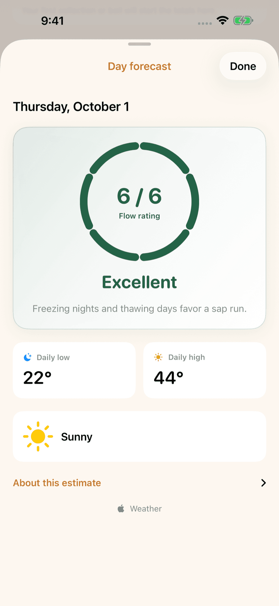
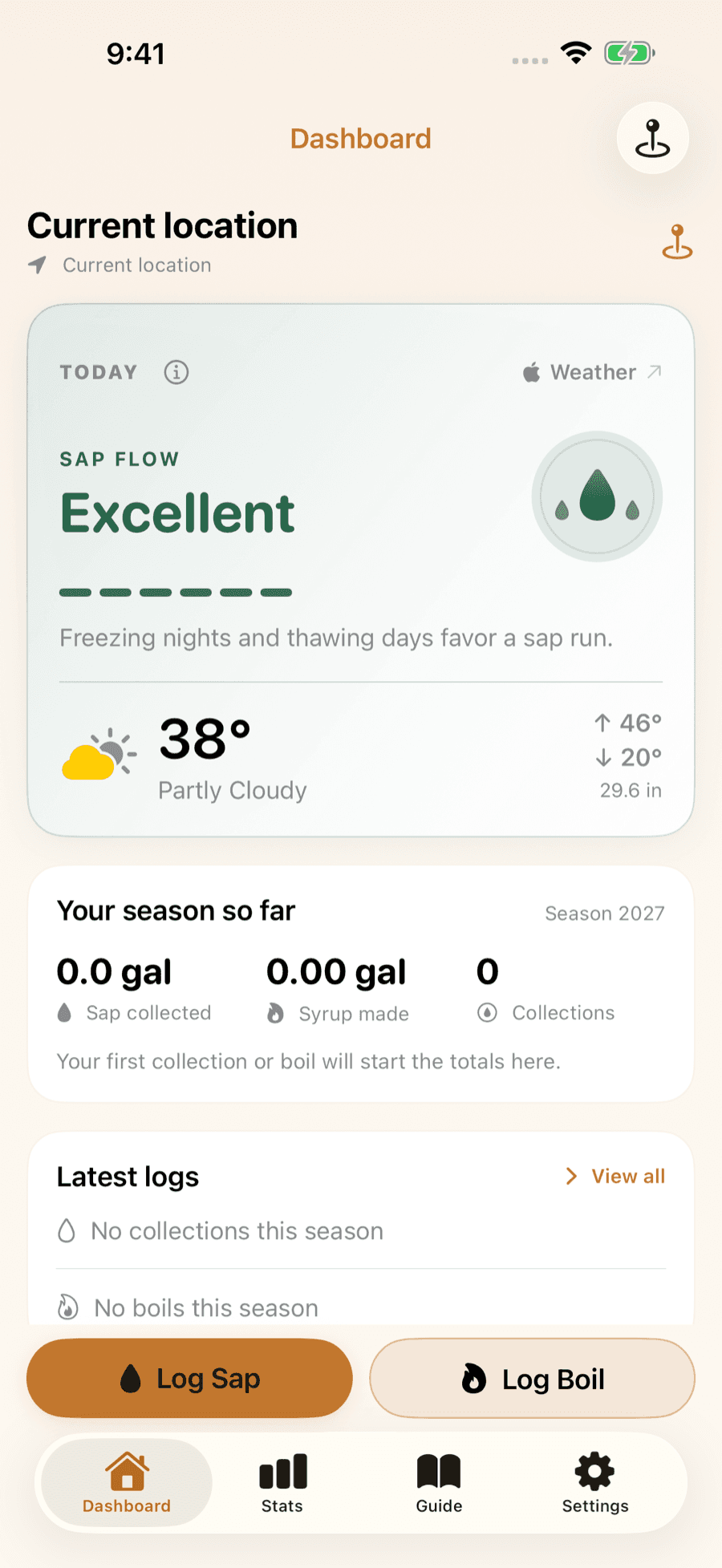
LuckySap turns the forecast for your trees into a day-by-day sap-flow outlook, can ping you the evening before a strong sap day, and keeps every collection and boil in one season log. Free on iPhone and Android.